

Fog rolls off a grassy bald at six in the morning and you stop thinking about your sore knees. North Carolina hands these moments out generously, from the highest peak east of the Mississippi down to the tallest living sand dune on the East Coast. Some of these trails are a short stroll from a parking lot. Others make you grab a cable and haul yourself up a rock chute. Hurricane Helene scrambled access across a lot of the western mountains in 2024, and things are still reopening piece by piece. What follows are the views worth the gas money, with real directions and the stuff nobody tells you up front.
Please note that some of the images in this article were created with the assistance of AI.
20. Craggy Pinnacle Trail, Craggy Gardens
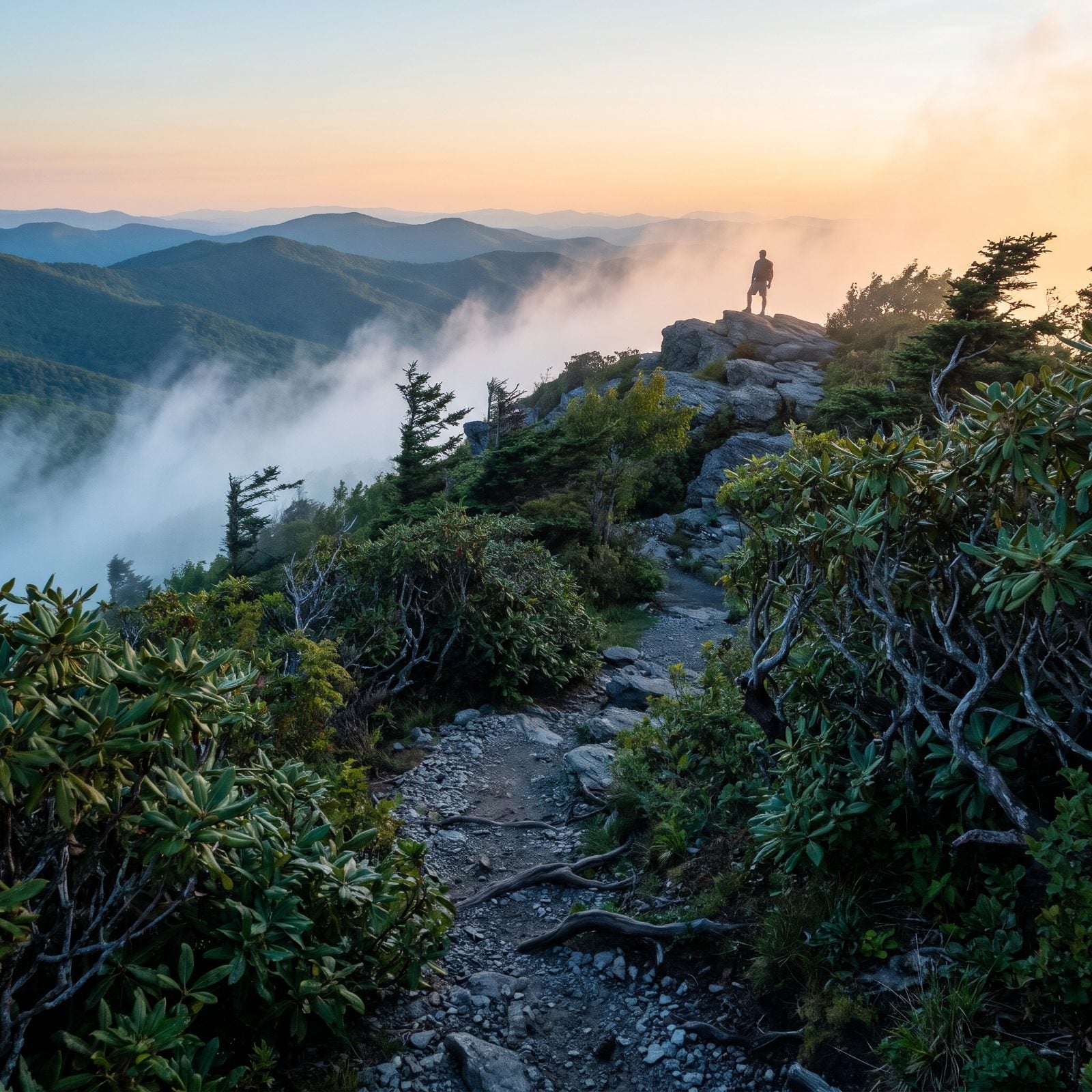
Twenty minutes. That’s all it takes to walk from the trailhead at Milepost 364 to a bare rock summit with views spinning the full 360 degrees. Craggy Gardens is where you come for twisted, gnarled trees and rhododendron that goes wild in June, and the fog here moves like it has somewhere to be.
This stretch of the Parkway reopened in September 2025 after Helene, which brought back the visitor center and this trail with it. Some trail segments and the picnic area stayed shut at that point, so check first. Bring layers even in summer. It gets genuinely cold up here after dark, and people underestimate that every single year.
19. Mount Mitchell State Park, the Rooftop of the East
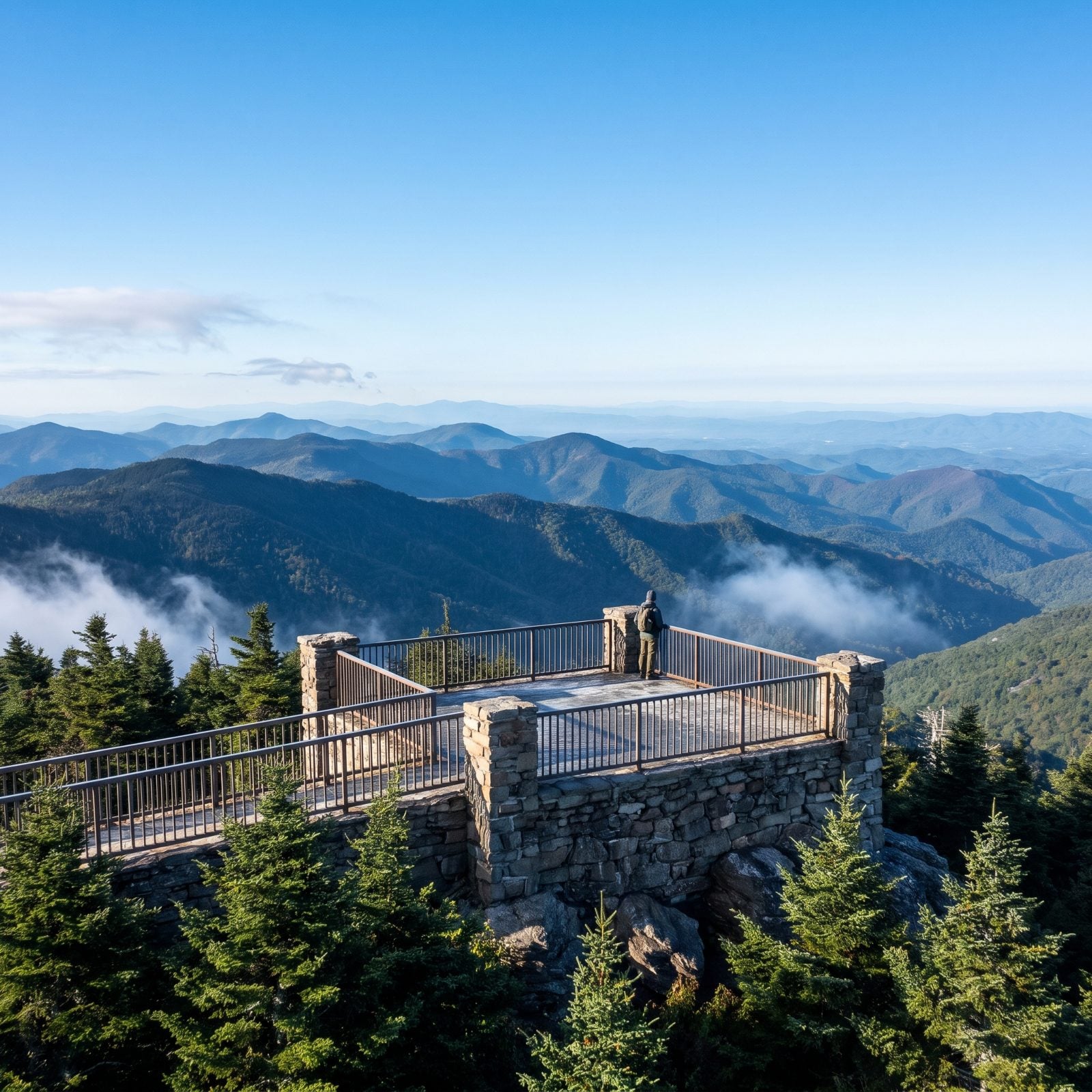
At 6,684 feet, this is the highest point east of the Mississippi River, and the observation deck proves it on a clear day. Easy summit trails wander through Fraser fir forest that smells like Christmas in July, while the harder routes, including the Mountains-to-Sea Trail, drop off into Pisgah National Forest wilderness.
About 30 miles northeast of Asheville, in Yancey County. The park reopened in September 2025, its first season back since Helene, and the site now lists trails as mostly open with the Old Mitchell Trail partially closed. Address is 2388 N.C. 128, Burnsville. And clear days? Not guaranteed up here. We’ve driven up to a wall of white more than once, so pack patience along with the camera.
18. Grandfather Trail, Grandfather Mountain
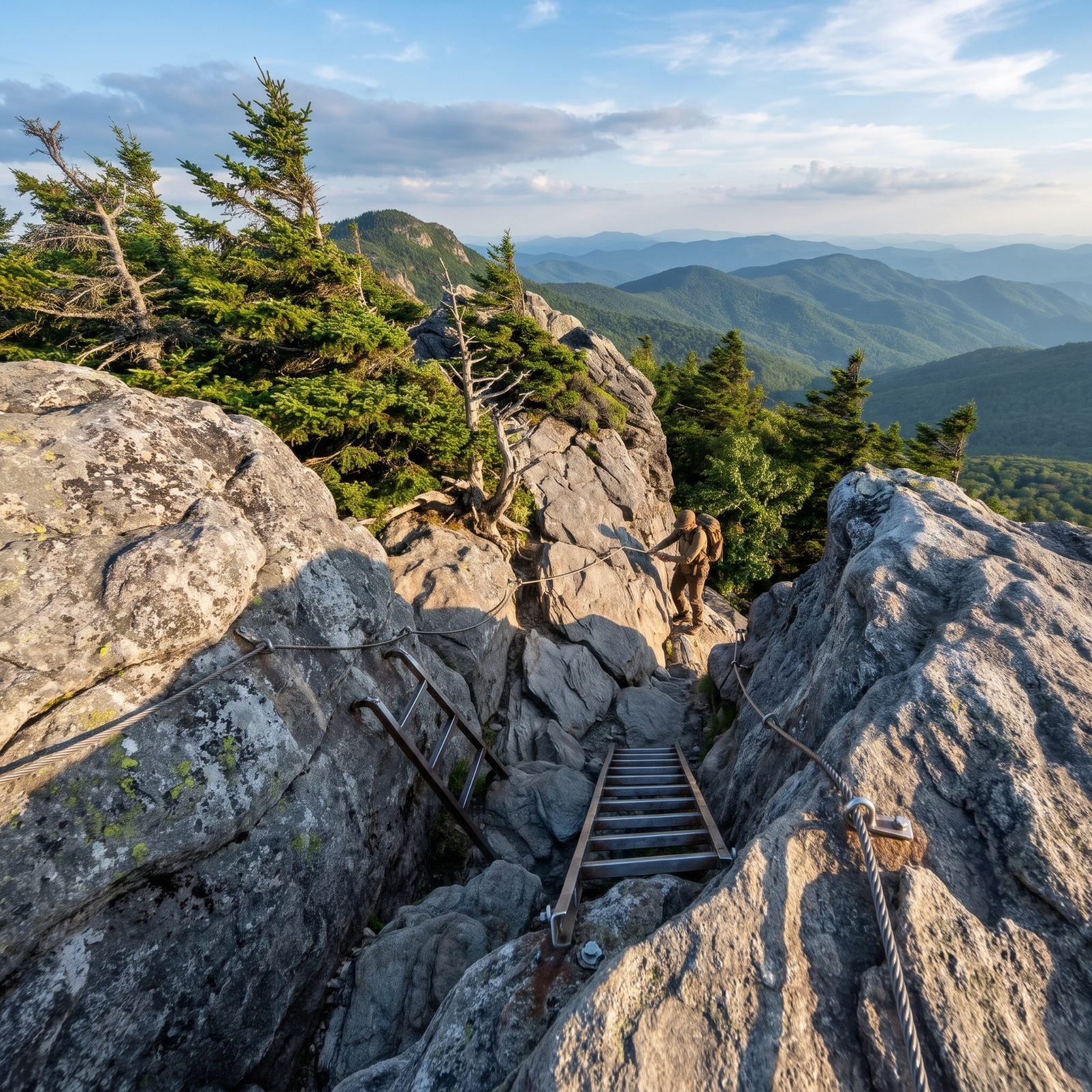
This is the one that bites back. The Grandfather Trail runs the crest across three peaks, MacRae, Attic Window and Calloway, and some sections are hand-over-hand chutes with fixed cables and ladders. No special gear required. What you do need is to be an experienced hiker who isn’t spooked by exposure.
It’s about 2.4 miles each way to Calloway Peak, starting from the Mile High Swinging Bridge parking area. Want to sleep up here? The primitive backcountry campsites in Grandfather Mountain State Park require an advance reservation through NC State Parks plus on-site registration at the Profile or Boone Fork trailhead (no overnight parking at the attraction). Grandfather Mountain reopened October 23, 2024, after Helene; check current trail status before you go. And the guided hikes cost extra on top of park admission, worth knowing before you show up.
17. Rough Ridge on the Tanawha Trail
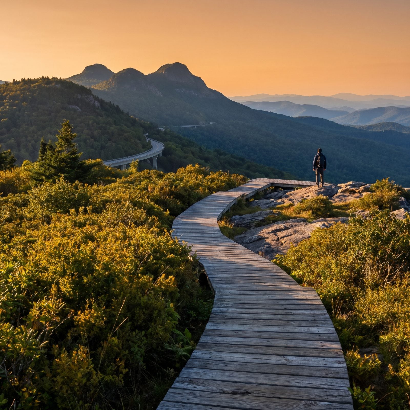
Short, steep, and ridiculously photogenic. Park at the Rough Ridge Overlook, Milepost 302.8, for a 1.2-mile out-and-back with roughly 374 feet of climbing.
About a third of a mile in, a 200-foot boardwalk opens onto the money shot: Grandfather Mountain’s three highest peaks above you, the Linn Cove Viaduct curling along the Parkway below. Rugged despite how little distance it covers, and crowded for good reason. No pets allowed on this section, so leave the dog home. The Parkway between Mileposts 285 and 305 is open.
16. Max Patch, the Grassy Bald on the Appalachian Trail
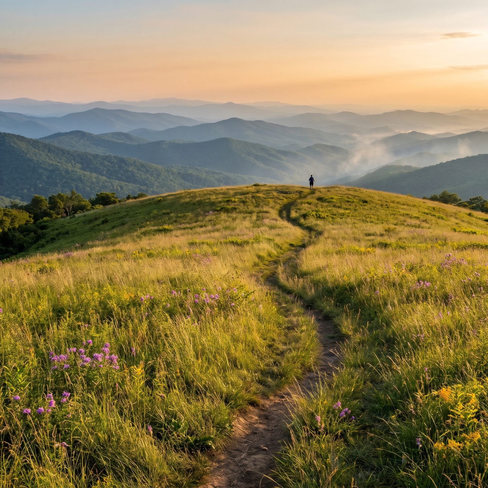
A grassy bald floating at about 4,600 feet, with a moderate 2-mile loop that delivers 360-degree views and wildflower meadows. The Appalachian Trail runs right across the top. Sunset here has been loved nearly to death.
The parking area sits in Madison County, roughly 18 miles from Hot Springs and 47 from Asheville. Max Patch and the Harmon Den area reopened in February 2025 after Helene. Now for the part that matters: the Forest Service banned camping and capped group sizes so the trampled meadows could recover, and in June 2026 the Forest Service renewed those restrictions through June 2029. Check the current rules before you plan an overnight. That ground took a beating, and the rules exist for a reason.
15. Black Balsam Knob via the Art Loeb Trail
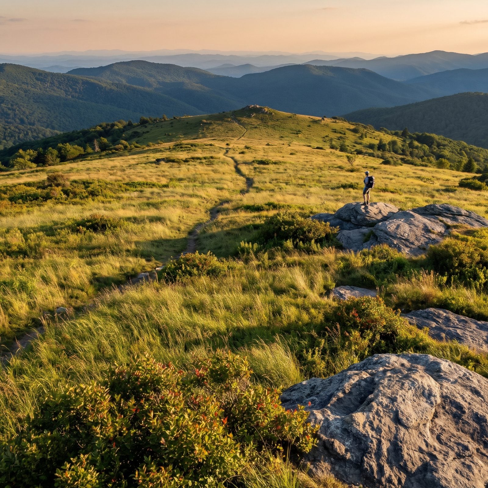
Two miles round trip, about 400 feet of climbing, and one of the best payoff-to-effort ratios in the state. A short walk through woods and the trail spills onto a meadow with views every direction, blueberry bushes, and exposed rock to sit on.
Hungry for more? Push about a mile farther to Tennent Mountain, the next bald over, and loop back on the Ivestor Gap Trail for about 5 miles total. Parking is on the shoulder of Black Balsam Knob Road off the Parkway. The Shining Rock, Sunburst and Black Balsam areas reopened in fall 2024, soon after Helene. The blueberries ripen late summer, and yes, you’re allowed to graze.
14. Waterrock Knob, the Parkway’s Highest Visitor Center
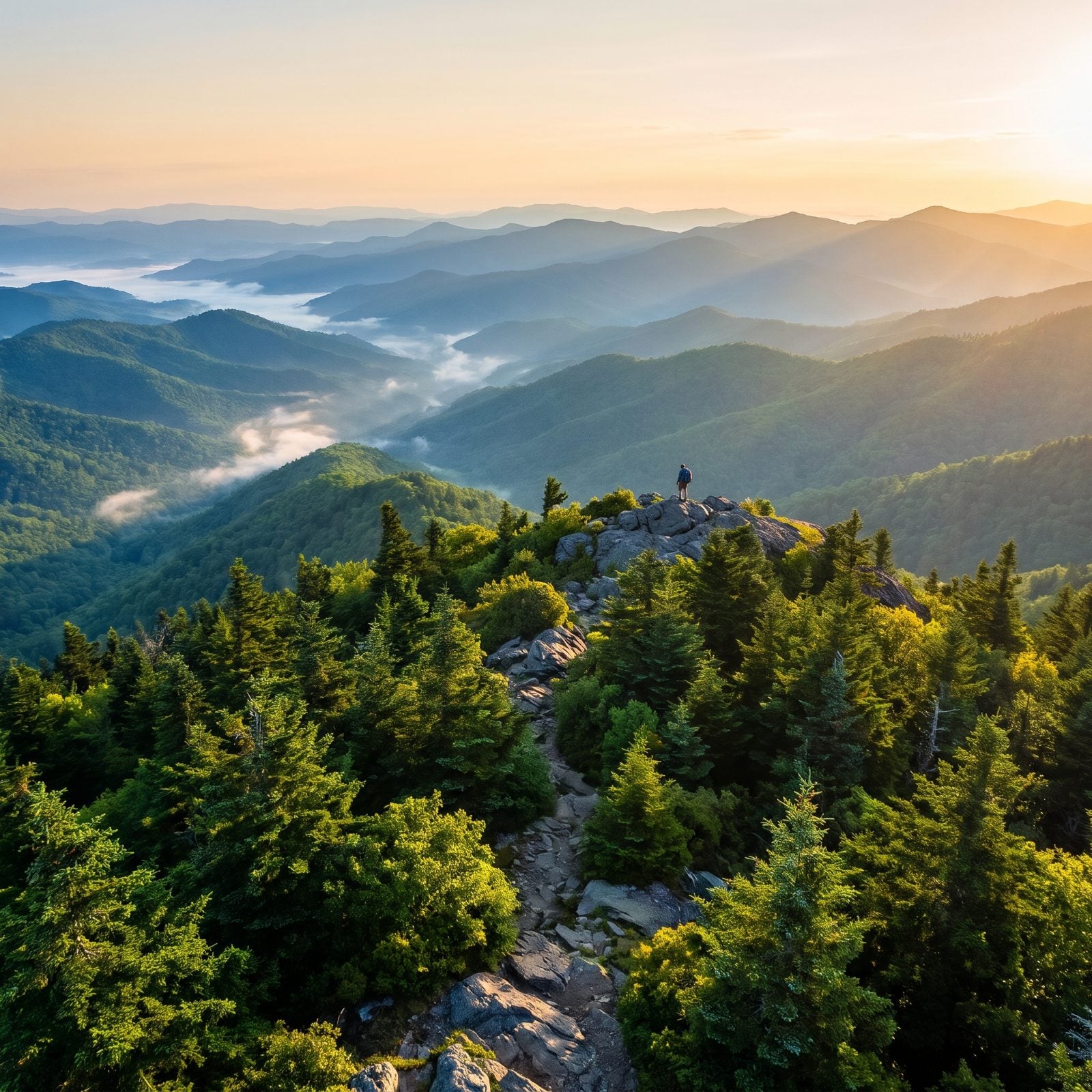
The trail starts at the Waterrock Knob Visitor Center, Milepost 451.2, which at 5,820 feet is the highest visitor center on the whole Blue Ridge Parkway. The National Park Service all but tells you to come for sunrise or sunset. They’re right.
The summit trail climbs about 436 feet over 1.2 miles round trip to a 6,292-foot peak, and from up top the view stitches together the Great Smokies, the Great Balsams and the Black Mountains in one sweep. Visitor center and park store usually run mid-April through early November. This stretch of Parkway reopened in October 2024.
13. Looking Glass Rock Trail, the White Granite Dome
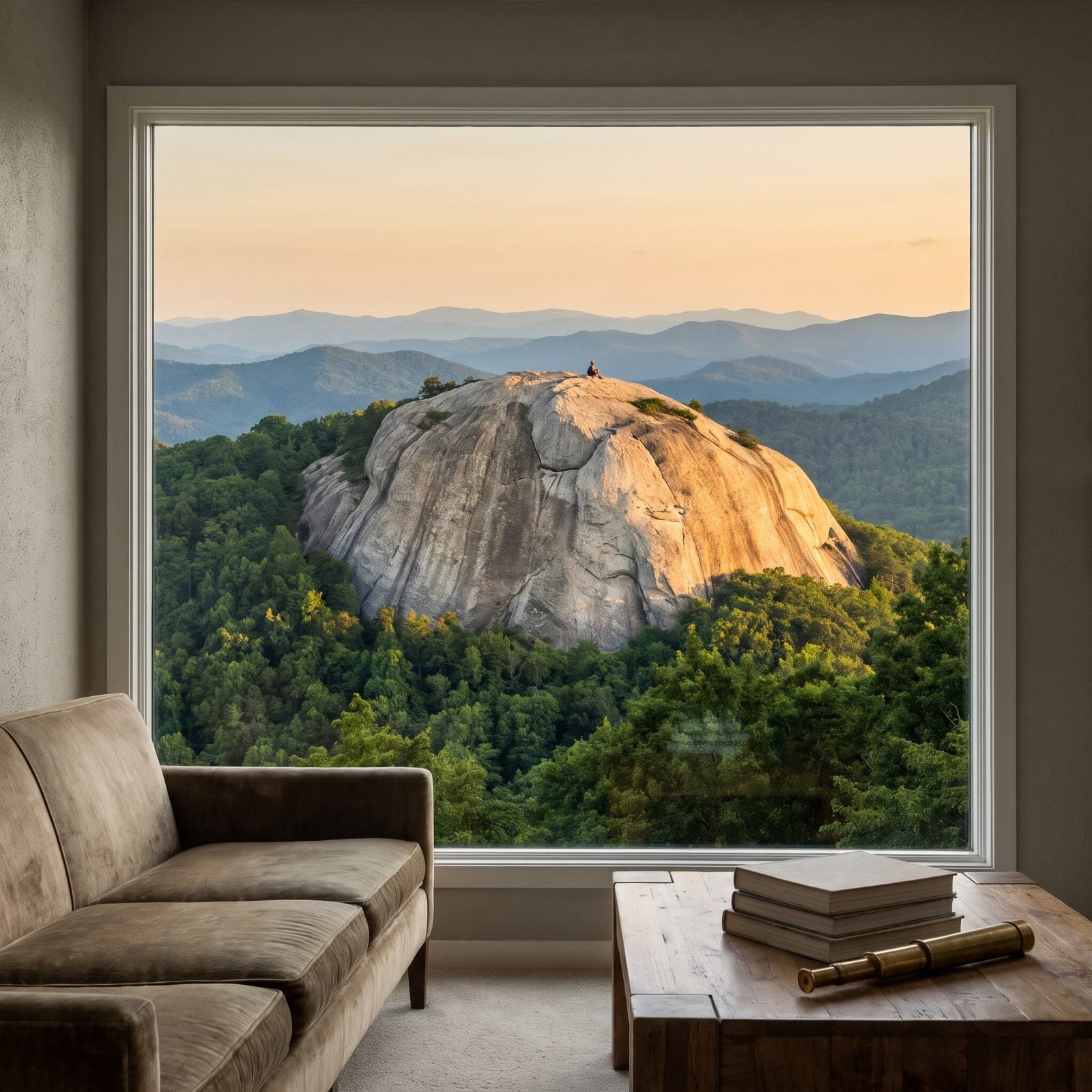
You’ve probably already seen Looking Glass Rock without knowing its name. The white granite pluton rises to nearly 4,000 feet and shows up from the Parkway, from Mount Pisgah, from Black Balsam, a bald dome you can’t miss.
Climbing it is the real work here: 6.4 miles out and back, 1,649 feet of gain from 2,320 to 3,969 feet, with a rocky scramble once you clear the switchbacks. Budget a half day, give or take. Explore Asheville lists it as open post-Helene. The parking area is small and has no restrooms. Nearest ones are back at the Coontree Picnic Area on US 276, so plan accordingly before you commit to a long morning on the rock.
12. Whiteside Mountain, 750-Foot Cliffs Above Highlands
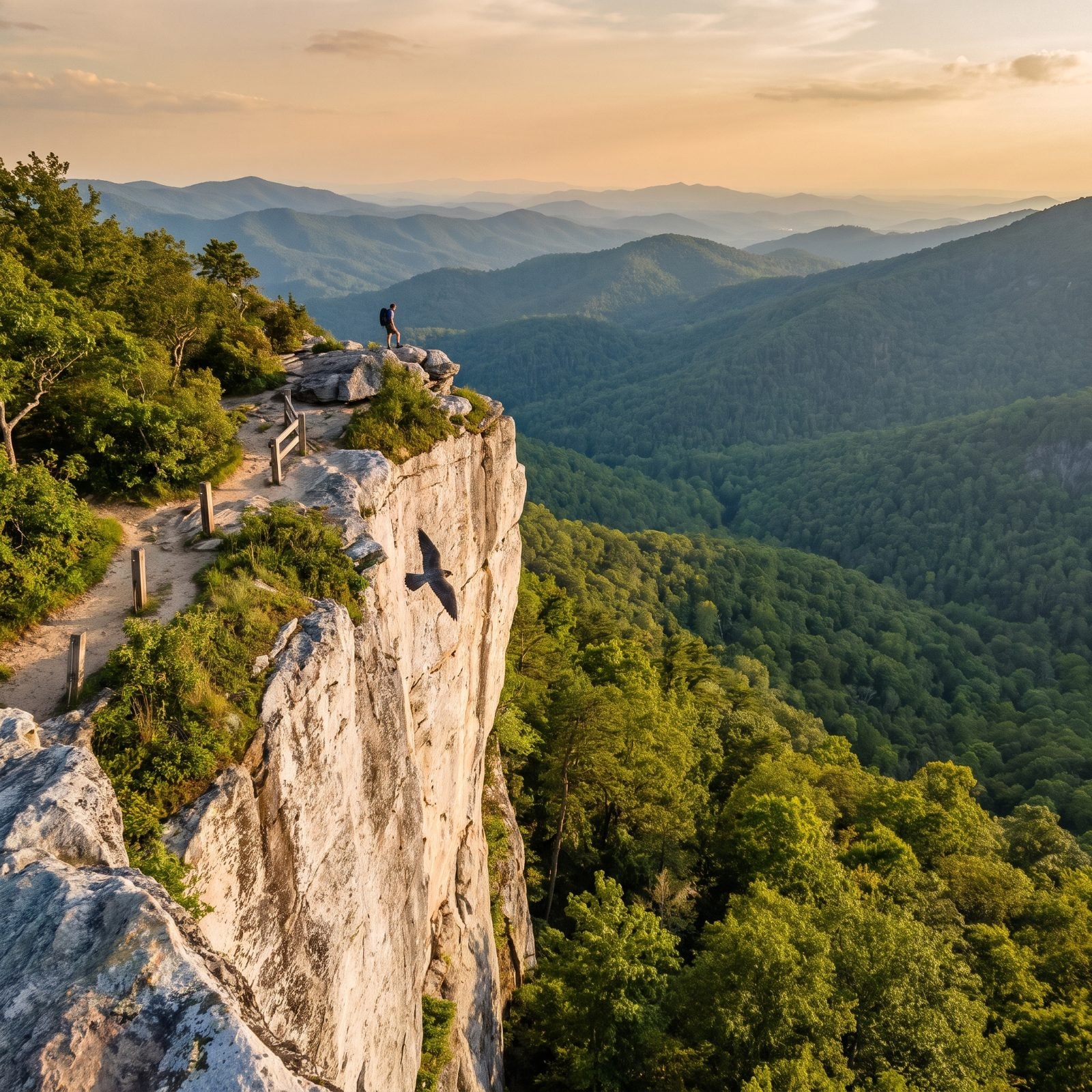
Sheer cliffs about 750 feet tall, with a two-mile loop that climbs above them for views east, south and west. The Forest Service rates it “more difficult” because it’s steep, not because it’s technical.
Find it in the Nantahala National Forest, south of US 64 between Highlands and Cashiers. From Highlands, drive about 5.5 miles east on US 64, then turn right onto Whiteside Mountain Road (SR 1600). Open dawn to dusk. Here’s a reason to look up instead of out: peregrine falcons nest on these cliffs, and seasonal climbing closures protect them. Catching one of the fastest animals alive carving the updraft off the rock beats any summit selfie.
11. Hawksbill Mountain, Linville Gorge
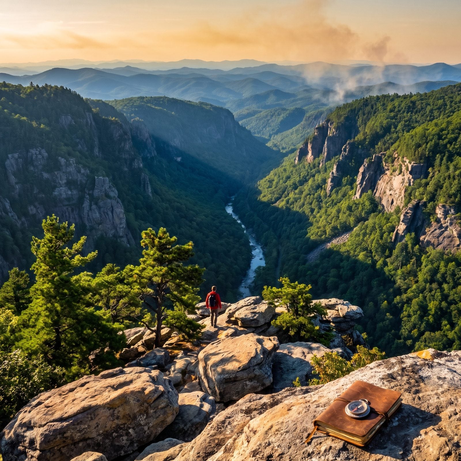
Linville Gorge earns its nickname as the Grand Canyon of the East. The Linville River drops 2,000 feet through it between Jonas Ridge and Linville Mountain, and the terrain is steep, rugged, and littered with rock formations.
The Hawksbill Trail runs about 2.1 miles with roughly 679 feet of climbing, and it’s AllTrails’ top-rated hike in the whole gorge. That rating is earned. Some areas remain closed after Helene, including the Table Rock Picnic Area, the Greentown Shortcut Trail, and parts of the Linville Gorge Trail. Conditions in this wilderness shift fast. Check before you drive out. This is rugged country, and the gorge doesn’t forgive a careless step near the edge.
10. Erwin’s View Trail, Linville Falls
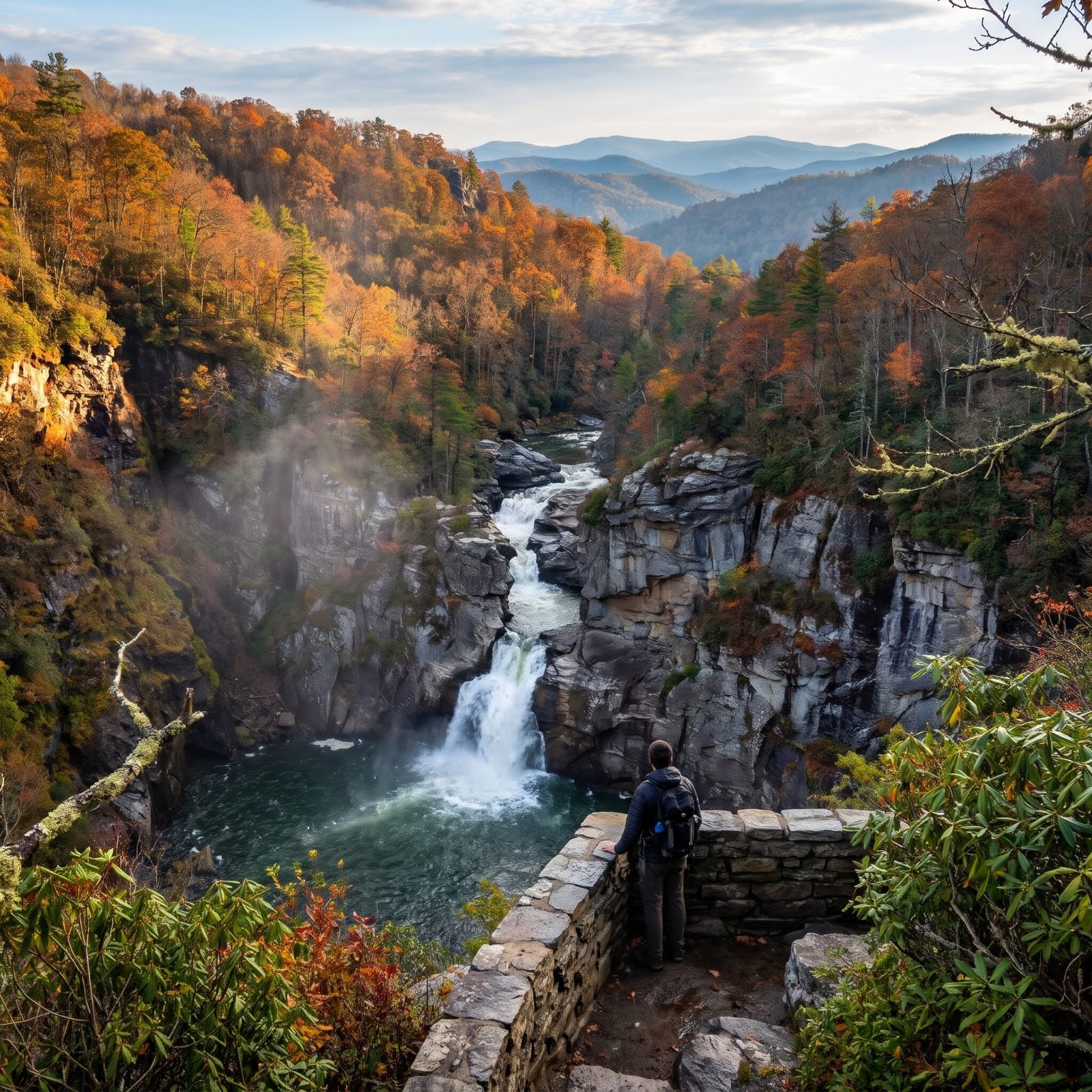
The moderate walking fools people. Erwin’s View Trail strings together four separate overlooks — Upper Falls, Chimney View, Gorge View, and the big finish at Erwin’s View — and your knees come out of it mostly unpunished.
Here’s the part nobody mentions on the way in. The trail down to the river and the base of the falls is still closed after Helene, and the old visitor center got torn down. The spur road at Milepost 316.5 is open, so the good overlooks are still yours, but don’t drive up expecting the full riverside loop. Check the status before you leave home.
9. Skyline Trail, Chimney Rock State Park
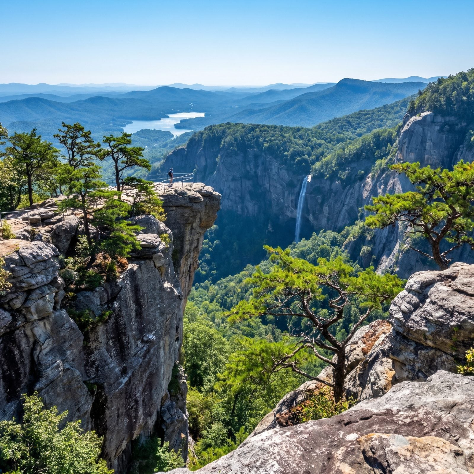
This one came back from the dead. Chimney Rock State Park reopened on June 27, 2025, nine months after Helene tore through Hickory Nut Gorge. The Skyline Trail, which climbs to the park’s highest elevations, followed that August, and by then every trail in the attraction area was open again.
One catch trips up the regulars. When the park first reopened, everyone needed a reservation, annual passholders included, and that policy may still be in place depending on when you go. Call ahead or check the site. Better that than getting turned around at the gate after an hour in the car.
8. Triple Falls Trail, DuPont State Recreational Forest
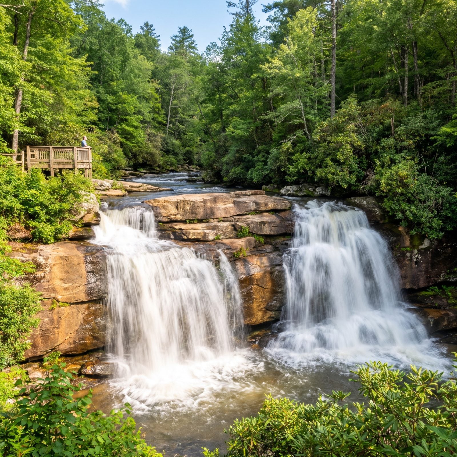
This is the stretch of river where parts of “The Hunger Games” were filmed, and it’s one of the most hiked waterfall trails in the state. Forest officials reckon hundreds of thousands of people walk the Triple Falls Trail every year.
The foot-traffic-only trail reopened in May 2025 after temporary repairs from Helene flooding. Those famous steps beside the falls took real damage. Part of them washed away, and they’re still fenced off. People who hopped the closure signs have been ticketed, so don’t be the one who turns a photo into a court date.
7. Grassy Ridge Bald, Roan Highlands from Carvers Gap
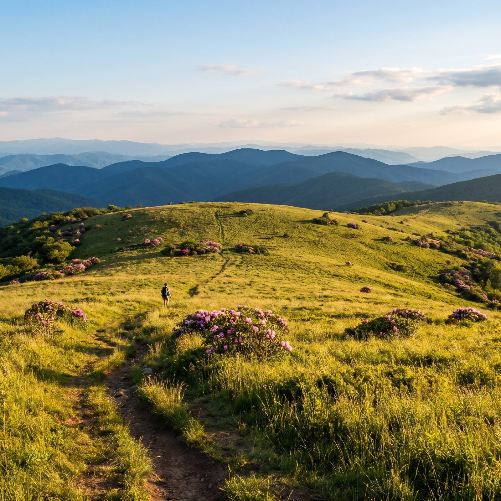
Explore Asheville calls this one of the most scenic stretches on the entire Appalachian Trail. Hard to argue once you step out onto the open grass. From Carvers Gap at 5,512 feet, the path crosses Round Bald, Jane Bald, and Grassy Ridge Bald — all treeless, all wide open sky.
Round Bald is three-quarters of a mile out, a 1.5-mile round trip if you just want a taste. Push on to Grassy Ridge Bald and you’re looking at about 5 miles total.
Worth knowing: Carvers Gap straddles the NC–Tennessee line, so to stay on the North Carolina side, Grassy Ridge Bald is your destination. The paved lot has toilets and picnic tables, which is more than most trailheads bother with.
6. Elk Knob Summit Trail
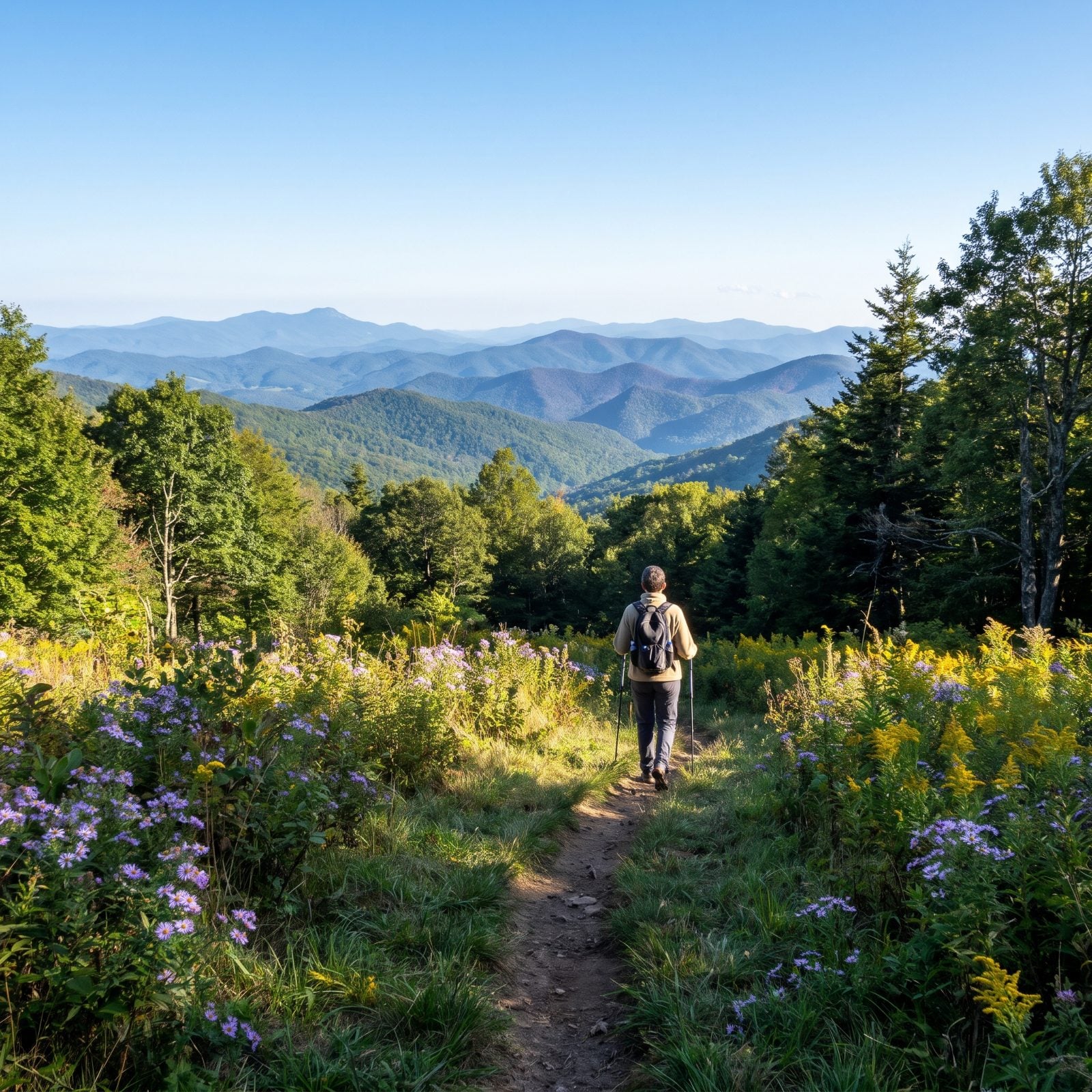
One of North Carolina’s newest and smallest state parks, and the trail here was practically built by hand. Volunteers put in thousands of hours over five years carving out the Summit Trail, which climbs about 1.9 miles through northern hardwood forest to the top of the second-tallest peak in the Amphibolite Range.
The top delivers a roll call of the region’s heavyweights: The Peak, Three Top, Bluff Mountain, Mount Jefferson, Grandfather, even Mount Mitchell, with ranges running off into Virginia and Tennessee. There are glimpses of views on the way up (best in winter), but the real payoff is the pair of viewpoints at the summit.
5. Hanging Rock Trail, Hanging Rock State Park
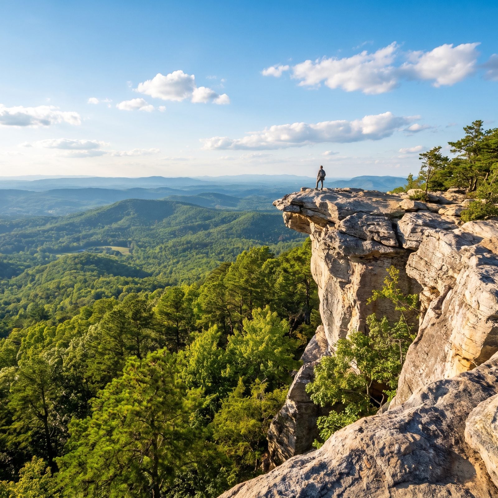
About 30 miles north of downtown Winston-Salem, Hanging Rock hands the Piedmont some of its best ridgeline views, and you never have to drive into the mountains to get them.
The Hanging Rock Trail is well marked throughout, and the last 0.2 mile turns into a steep climb to the rock outcrops. Then the land just drops away on both sides. Want more? The Moore’s Wall Loop runs 4.7 strenuous miles and will remind you that the Piedmont has real elevation if you go looking for it.
4. Little Pinnacle Overlook, Pilot Mountain State Park
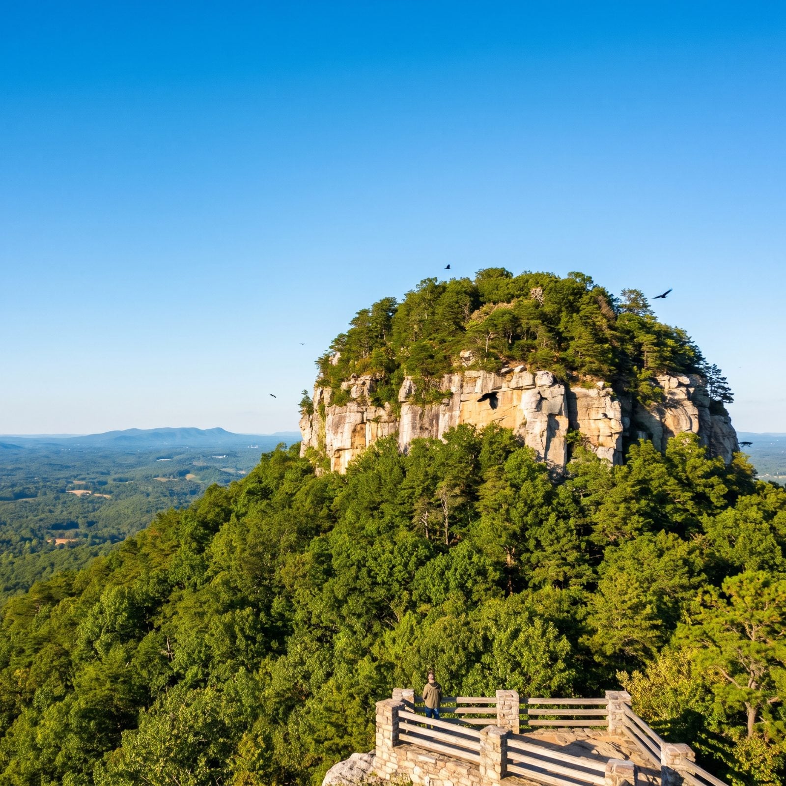
A tenth of a mile. That’s all it takes from the upper summit parking lot to reach what the park guide calls its most iconic view — Big Pinnacle standing right in front of you with Hanging Rock off in the distance.
To stretch it out, the Pilot Knob Trail (formerly the Jomeokee Trail) loops 0.8 miles around the base of Big Pinnacle, past cliffs, crevices, and the ravens and hawks that patrol the rock all day. For such a short walk, the payoff is comically lopsided in your favor.
3. Kings Pinnacle, Crowders Mountain State Park
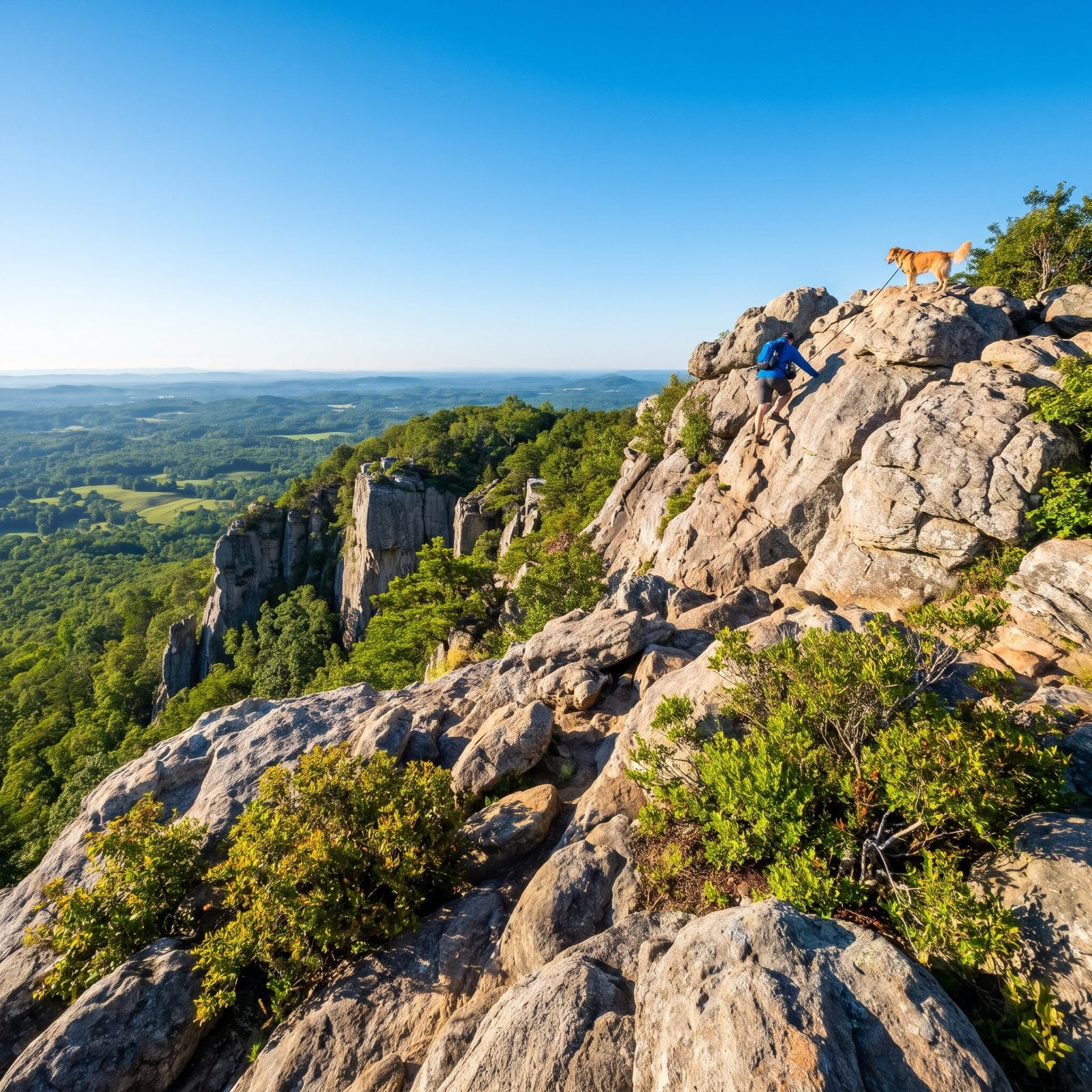
Crowders Mountain covers more than 5,200 acres in Gaston County, and its pinnacles pull in rock climbers for good reason. Those sheer cliffs are the real deal.
The Pinnacle Trail from the visitor center runs about 4.2 miles round trip with 787 feet of climbing, and it saves the work for last — a steep, rocky stretch finishing with a short scramble up a rock wall to the best views. Dogs on leash are welcome, which makes this one a favorite.
Fair warning: this place gets mobbed on weekends. Start early or you’ll spend more time waiting your turn on the rock than actually looking at anything.
2. Jockey’s Ridge State Park
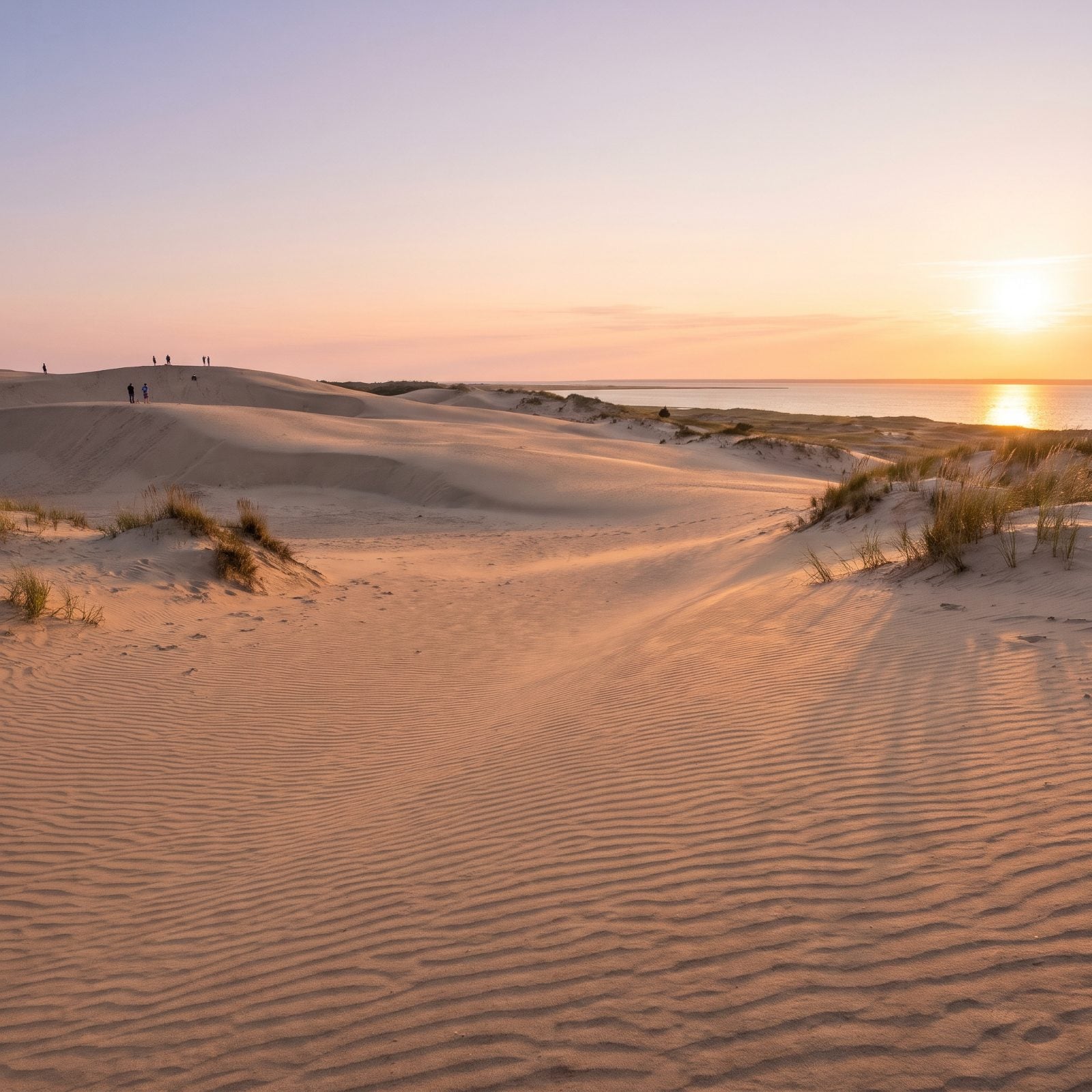
This stop sends you to the coast, and it feels nothing like the rest of this list. Jockey’s Ridge in Nags Head is the most active sand dune system on the East Coast — tall shifting hills of sand with the sound on one side and the ocean just over there.
Entry is free, which is rare enough to say out loud. The 1.4-mile Tracks in the Sand Trail winds through the dunes in soft, ankle-grabbing sand, so give yourself more time than the distance suggests. A 360-foot boardwalk with exhibits leads you into the dune field, and the park is a link in the Mountains-to-Sea Trail.
If walking the dunes isn’t an option, visitors with limited mobility can call 24 hours ahead to book an ATV ride to the top. And the sunsets. That’s why people show up at the end of the day in the first place.
1. Stone Mountain Loop, Stone Mountain State Park (Roaring Gap)
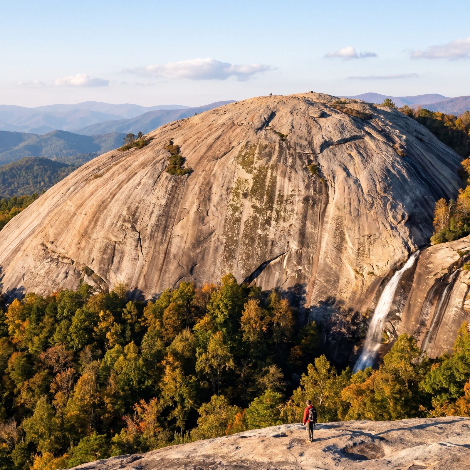
You start in trees and walk out onto a bald sheet of granite the size of a stadium. No railings. Just you and a 600-foot granite dome that’s been sitting there for hundreds of millions of years. The loop runs about 4.5 miles with a stiff climb, and it packs in the whole tour — the summit, the falls, and the old Hutchinson Homestead parked in a meadow like somebody wandered off to split firewood and never came back. The park sits near Roaring Gap, out in Wilkes and Alleghany counties.
Now the part nobody warns you about: wet granite turns into a skating rink, and there’s not a lick of shade up on that open rock. Catch it on a clear morning instead. The view runs for miles.